Blue Jay Point County Park is located on a 236-acre site adjacent to Falls Lake on land that is leased from the US Army Corps of Engineers via NC State Parks. The park was once primarily agricultural land and has a long history of supporting agrarian communities up until the Falls Lake Project began in the early 1970’s. In addition to hosting a multitude of educational opportunities, the park currently offers open play areas, playgrounds, an environmental education center, an overnight lodge, Go Ape Treetop Adventure Course and approximately 5 miles of hiking trails. Three of these miles are part of the longer Falls Lake Trail, a 37 mile portion of the NC Mountains to Sea Trail.
Early Settlers
The Tate Family
Much of the land that now makes up Blue Jay Point County Park was given as a series of land grants in the 1780’s and 1790’s. In 1782 John Humphries received a 200-acre land grant between Upper and Lower Barton’s Creek and south of the Neuse River. William Tate purchased these 200 acres in 1788, and then added to his holdings with a sixteen-acre land grant on both sides of the Neuse River in 1790 and a 50-acre land grant between Upper and Lower Barton’s Creek in 1792. The current park resides on land once owned by William Tate. Not only did Tate own the land, but he was also the first to occupy it thus becoming the first known resident of the property.
The Tate farm was well watered by the Neuse River and Upper and Lower Barton’s Creeks. At that time, Wake County consisted of scattered subsistence farms that produced nearly all the food, clothing and other goods required for the family. By 1830, Tate owned sixteen enslaved people, so it is possible that he also grew the cash crops of cotton and/or tobacco that were common to antebellum Wake County. Tate also ran a gristmill near the mouth of Upper Barton’s Creek at the Neuse River. Unfortunately, any remnants of the mill would have been demolished before the construction of the dam which created Falls Lake.
William Tate died in 1832, and in his will divided his estate among his children and grandchildren, except for what was “loaned” to his wife for the duration of her life. Two of his sons, John and Turner Tate inherited all their father’s land between Upper and Lower Barton’s Creeks. Between 1833 and 1838 Turner Tate sold his portion of the property to brothers James and Reynold Allen, and it’s probable that John’s half was sold at the same time though the documentary record is not clear.
The Allen Family
Reynold Allen owned most of the land that has become Blue Jay Point County Park following William Tate. Over his lifetime he established a farm that covered nearly 500 acres. Through the 1830’s and 1840’s Allen purchased 205 acres on the Barton’s Creeks from the Tates, including the property that became his homeplace near the Blue Jay Point Maintenance Building.
Reynold died in 1882, leaving his land and personal property to his wife for the duration of her widowhood and then to be divided among his sons. Reynold’s wife, Jane Cannon Allen, died in 1893.
Reynold Allen’s son, Charles, served as the executor of his estate and in 1894 sold 1 acre of land to the trustees of the Pleasant Union Christian Church. The church had formed on Reynold Allen’s farm and likely predated the Civil War. It is likely the church was demolished during the 1970’s when the Army Corps of Engineers was acquiring and clearing land for the Falls Lake Project. In 1974, the congregation relocated to a new church about 1 mile west on Pleasant Union Church Rd.
A River Becomes A Lake
The Falls Lake Project
Driven by Raleigh’s exploding population needing a reliable water source as well as the desperate need for flood control along the Neuse River, the US Army Corps of Engineers conducted a study of the Neuse River Basin from 1958 to 1964. The findings were presented to the 89th Congress of the United States who authorized construction of Falls Lake in 1965. Originally scheduled for completion in 1970 at a cost of $18 million, this highly contentious project wasn’t a reality until 1983 with a price tag more than tenfold the original estimation.
Eminent Domain
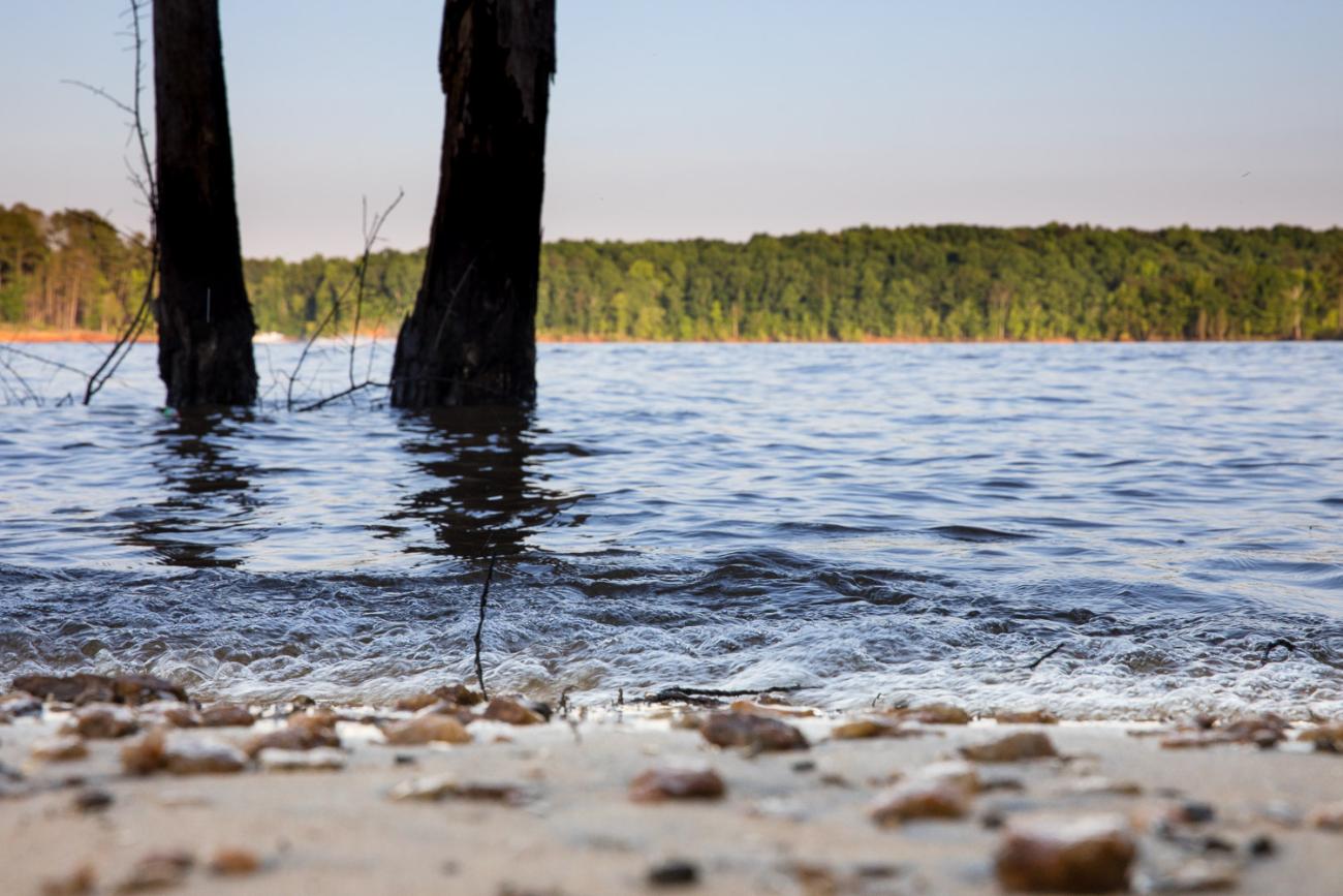
Much of the discontent surrounding the project revolved around the fact that many people were going to lose their land, homes and in many cases their livelihoods. Through eminent domain close to 40,000 acres totaling 1200 tracts were turned into public property. Specifically, at Blue Jay Point, at least 16 parcels and 3 farmsteads were purchased. Of the 40,000 acres, roughly 12,000 acres were dedicated for the actual reservoir, or what is known as the conservation pool. This provides drinking water for Raleigh and surrounding communities, while also diluting pollutants and storing sediment. An additional 10,000 acres of land are devoted to storing flood waters which allow the lake level to rise 13.3 vertical feet during storms. Another 14,000 acres were procured and dedicated as freeboard land, which is determined by surveying 300 horizontal feet from the maximum capacity of the flood control acreage, 264.8 msl. Much of this land is now public game lands utilized by hunters, outdoor recreators and wildlife. Finally, 4500 acres were taken for the sole purpose of providing recreation areas around the lake. This acreage is called separable recreation land and Blue Jay Point County Park now resides on a portion of this area.
Discover Nature at Wake County Parks and Preserves
NRID - Natural Resources Inventory Database

Want to explore the wildlife and plants seen at our Wake County Parks and Preserves from home? Check out the Wake County Natural Resources Inventory Database! Anyone can use it – whether you're a birdwatcher, teacher, student, citizen scientist or just curious about nature. Explore data and photos, print checklists, or discover fun nature facts here.